This webinar recording and presentation are available.
Click here to view the presentation (YouTube).
Click here to download the presentation (PDF).
- - -
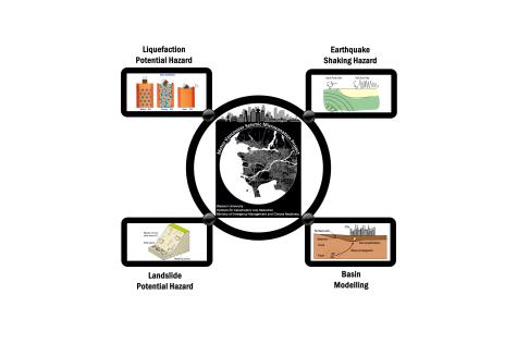
Do you know what the three main hazards associated with an earthquake are? Do you know where these hazards pose the greatest threat in your community? This webinar will improve your understanding of seismic hazard in the lower mainland and introduce susceptibility and hazard maps that can be used in your work.
Emergency Management and Climate Readiness (EMCR), the Institute for Catastrophic Loss Reduction (ICLR) and Western University are excited to host this outreach and education session for planners in Southwest BC. The session will showcase the new seismic hazard maps for Metro Vancouver being released June 2024. It will:
- Introduce planners to the unique seismic environment of the Lower Mainland and the new, leading-edge seismic hazard mapping for the region that includes liquefaction, landslide and de/amplification hazards
- Provide an overview and discussion of potential uses: across the scales and timelines from region wide (e.g. Regional Growth Strategy) to the building/parcel scale (e.g. building permits and design)


